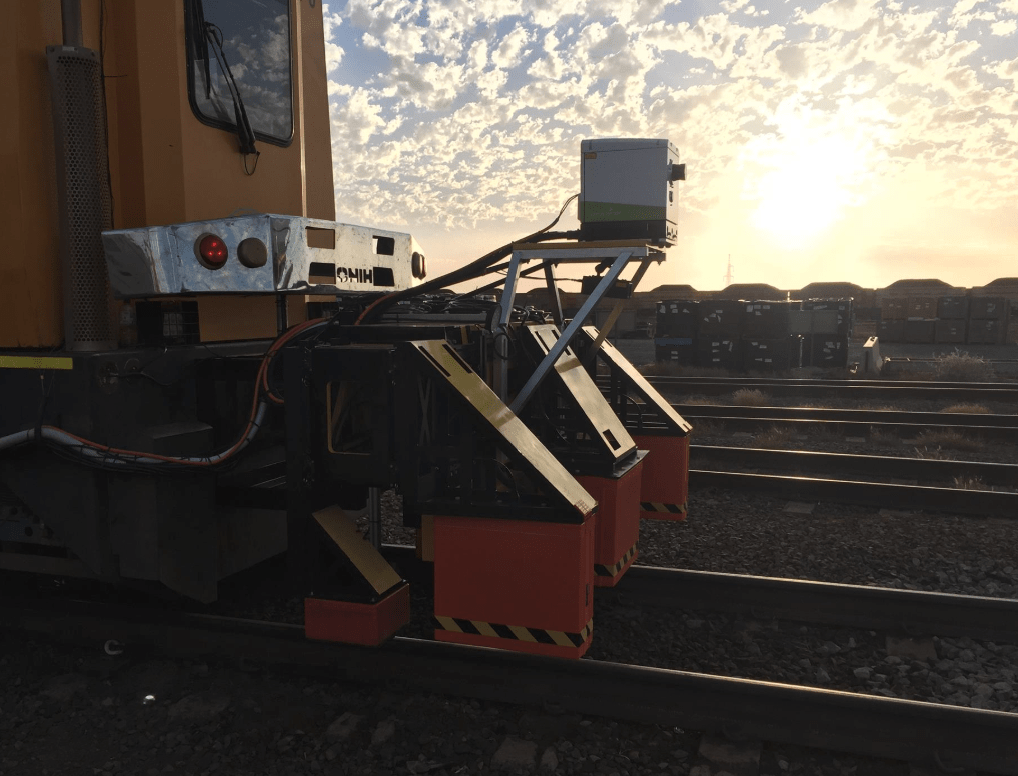
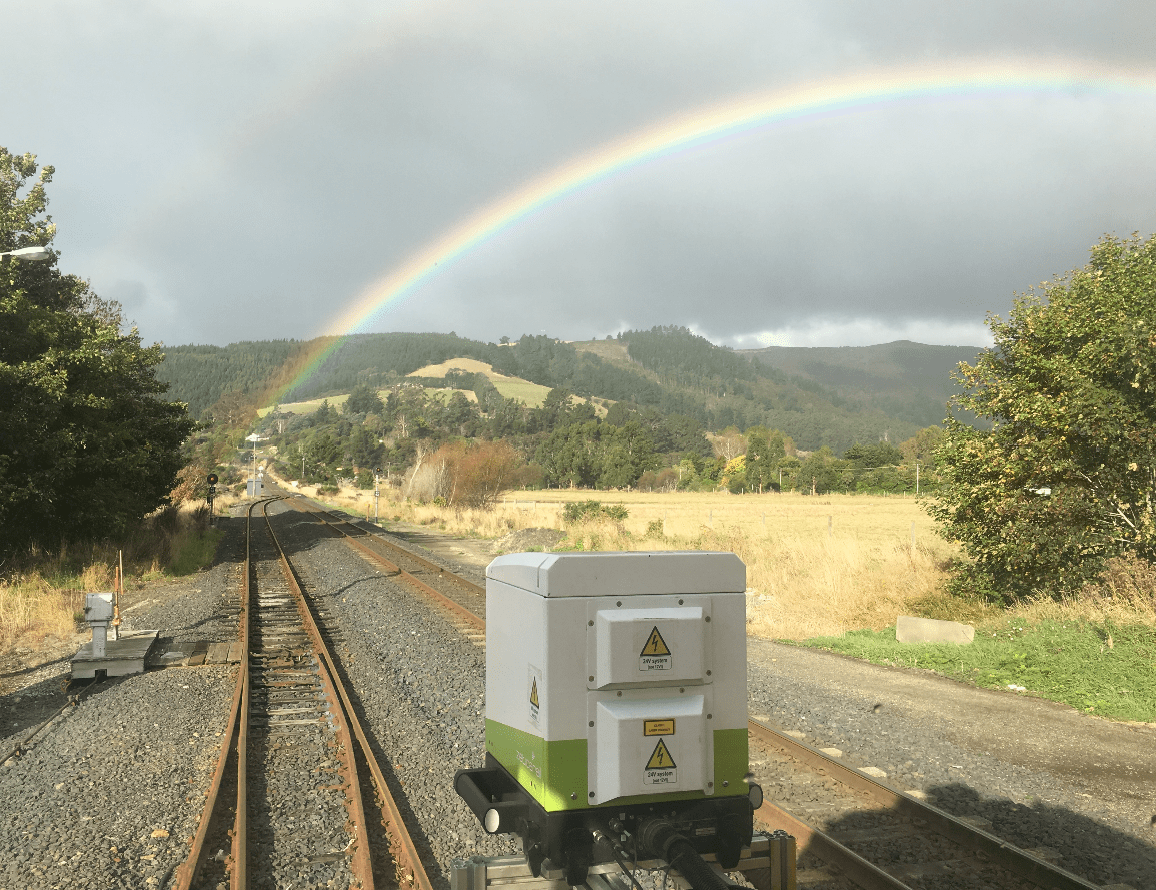
ZRL200 – mobile terrestrial laser scanner
The ZRL200 mobile terrestrial laser scanner (MTLS) can be used to measure the surface ballast profile, surrounding slope gradients, track centres, gauge, and superelevation as well as to map trackside assets, vegetation encroachment and structure clearances.

The ZRL200 utilises a high speed 360º laser profiler which is housed in a weather protected unit with a dual band L1/L2 dGPS receiver and an IMU for pitch, roll and yaw corrections. This standalone system has an interface plate that can easily be deployed from a road-rail or rail-bound vehicle and Zetica’s RASC® Pod.