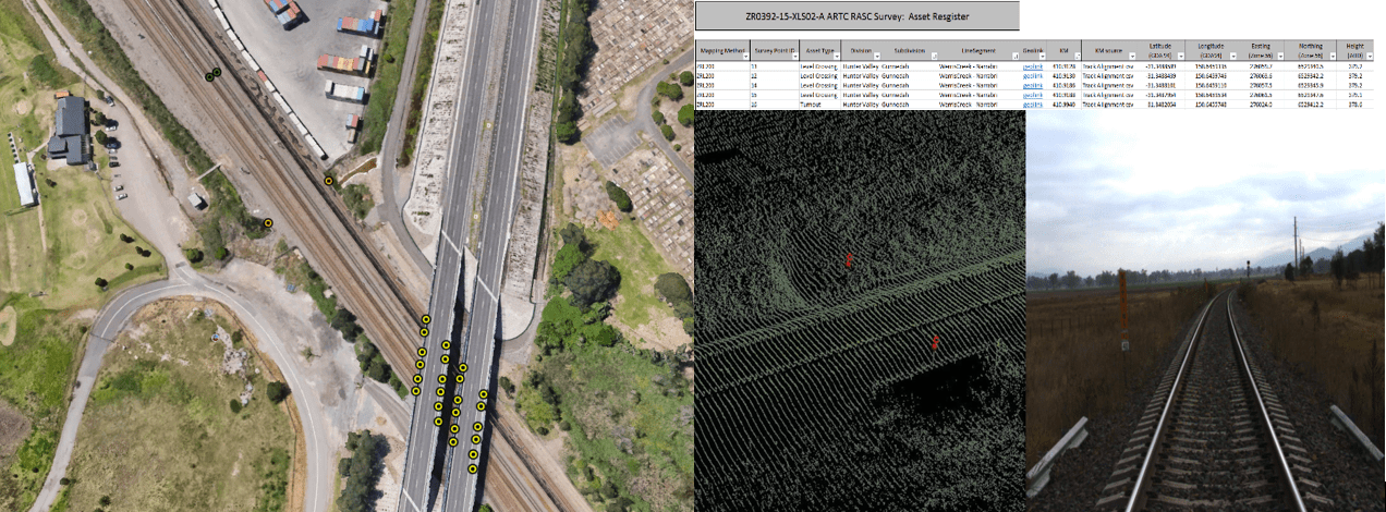
An up to date spatial register of trackside and trackbed assets is key for decision making by the following stakeholders:
Civil and Structures
Signalling and Communications
Asset Strategy and Planning
Operations
Track and Design
An asset data mapping exercise typically includes:
A map of the rail corridor and assets at the required accuracies
Outputs compatible with CAD, ArcGIS, MicroStation, KML and CSV formats
Photogrammetry for the surveyed areas
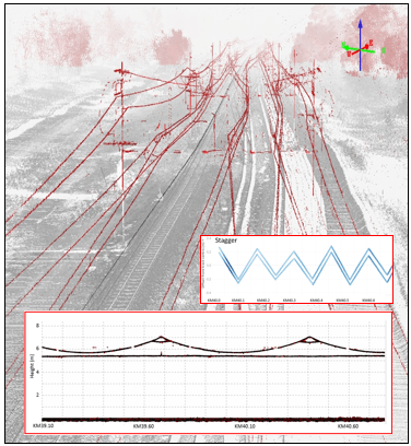
Georeferenced point clouds to check the location and to mine additional information
Validation of location accuracy using ground control points
Estimation of location accuracies
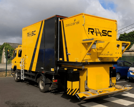
Main components of Zetica’s RASC® integrated above- and below-ground asset mapping system include:
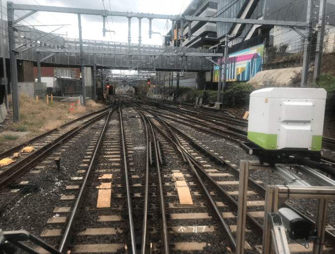
ZRL200 – a mobile terrestrial laser scanner (MTLS) system built around a 360o 200 Hz laser for accurate mapping of trackside assets and extraction of the track centreline and additionally ballast volume, track drainage and structure clearance measurements
ZR-ASC – a multi-camera area scan system for providing meta-data to identify assets with the point clouds and additionally for desktop inspection using Zetica’s RASC Viewer
INS – an inertial navigation system for accurate georeferencing of all the above-mentioned mapping systems and additionally qualitative mapping of rough track sections
ZRC-LS2.4 – a multi-linescan camera system for accurately mapping trackbed components such as turnouts and additionally surface mud spots plus sleeper spacing and orientation
ZARR – a GPR system for redundancy in mapping track components such as road crossings, bridges, culverts and turnouts and identifying trackbed condition such as formation layers and as ballast fouling to assist with maintenance planning
All systems interfaced with a distance measuring instrument (DMI) and dual frequency dGPS systems to facilitate location.